Google Maps on a Scooter in Bali: Tips to Avoid Getting Lost
By the SiapPergi Editorial Team · Published 11 October 2026 · 5 min read
Almost every tourist who rents a scooter in Bali relies on Google Maps. It's accurate on main roads, but a scooter opens up small roads that aren't always rideable. This guide covers the right Google Maps settings for a scooter, the gear to prepare, and simple habits so you don't end up in a dead-end alley or on a rice-field track as darkness falls.
Google Maps settings for scooters
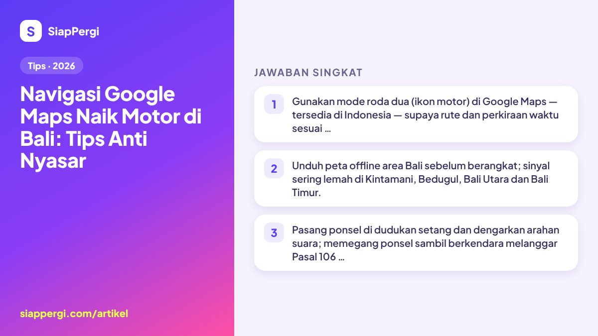
- Choose two-wheeler mode. After entering your destination, pick the motorbike (two-wheeler) icon in the row of travel modes, not the car icon. This mode accounts for roads a motorbike can use and gives more realistic time estimates.
- Set route options. In the options menu you can choose to avoid tolls. Leave tolls enabled if you want to use the Bali Mandara Toll Road (Benoa–Airport–Nusa Dua), which has a dedicated motorbike lane.
- Download offline maps. Open your profile → Offline maps → select your own map, then mark the parts of Bali you'll visit. Do this on Wi-Fi at your accommodation.
- Save key locations. Mark your accommodation, the scooter rental and the nearest petrol station as saved places so they're easy to find when signal is weak.
- Turn on voice directions. Voice guidance means you don't have to keep glancing at the screen.
Villa and homestay addresses in Bali are often incomplete. Ask your host to send a pinned location (share location) or a Plus Code, and save it in Google Maps before check-in.
Gear that makes navigation safe
| Item | Purpose | Notes |
|---|---|---|
| Handlebar phone mount | See the screen without holding your phone | Ask the rental; some provide one, some don't |
| USB charging cable for the bike or a power bank | GPS drains the battery | Many newer automatics have a USB socket in the front compartment |
| Single earphone (low volume) | Hear the voice directions | Keep one ear free for traffic sounds |
| Waterproof phone case | Tropical rain arrives suddenly | Important in the November–March rainy season |
| Local SIM card or eSIM | Data for maps and live traffic | Offline maps remain your backup |
Don't hold your phone while riding
Law No. 22 of 2009, Article 106(1), requires riders to ride reasonably and with full concentration; the explanatory notes name phone use as one of the things that disrupts concentration. Violations carry a penalty under Article 283: up to 3 months' detention or a fine of up to Rp750,000. More important than the fine: looking at a phone in your hand while riding in Bali's busy traffic is a recipe for a crash.
If you need to change your destination or check the route, pull over somewhere safe. A summary of other rules is in Bali traffic rules and police checks.
Common Google Maps traps in Bali
Shortcuts through alleys and rice fields
Two-wheeler mode sometimes picks a shorter road that turns out to be an alley one bike wide, a footpath through rice fields, or a dirt track that's slippery in the rain. This happens often around Canggu, Ubud and Tabanan. If the road narrows, turns to dirt or looks like a dead end, turn around and take the main road, even if it's a bit longer.
Steep descents and climbs
The fastest route to the beaches of the Bukit peninsula (Uluwatu, Pecatu) or to inland waterfalls sometimes goes down very steep descents. For beginners and 110 cc bikes carrying a passenger, this is risky. Read tips for steep climbs and descents and, for the Bukit, the Uluwatu beaches scooter route.
Road closures for ceremonies
Traditional ceremonies and processions can temporarily close village roads, and the app often doesn't show this yet. Follow the directions of the pecalang (traditional village security officers) and find a detour. More in ceremonies and road closures in Bali.
Over-optimistic time estimates
At afternoon rush hour, the Canggu–Seminyak–Kuta stretch and the roads into Ubud can be much slower than estimated. Add 20–30% spare time, especially if you're chasing a sunset or an attraction's closing time.
Habits to avoid getting lost
- Check the route before you leave: note 2–3 road or village names along the way so you'll know if the route goes off track.
- Leave early for distant destinations so you get back before dark. Many rural roads have little lighting.
- Fill up before heading into remote areas; in the countryside, petrol stations can be a dozen or more kilometres apart.
- Ask locals if in doubt. Balinese people are generally happy to point you in the right direction.
- Share your live location with travel companions or family on long routes.
Alternatives to Google Maps
Waze is useful for user-reported traffic jams and road closures, especially in Denpasar and Kuta. But for scooters, Google Maps in two-wheeler mode is still more practical because it accounts for roads motorbikes can use. Also save the WhatsApp numbers of your rental and accommodation: if you're truly lost, send your location and ask for directions.
Choose a bike that supports navigation
Newer automatics such as the Honda Vario, Yamaha NMAX and Honda PCX usually have a USB charging socket, which is very handy when GPS is on all day. When booking via the Bali scooter rental page, mention that you need a phone mount so the rental can prepare one if available.
For a day trip to Kintamani or Bedugul, download offline maps the night before and bring a power bank. Losing signal on a misty mountain climb is not the moment to be looking for directions.
Ready to rent a scooter?
See estimated prices by area & model, then book on WhatsApp — the final price is confirmed before you pay.
Frequently asked questions
Does Google Maps have a motorbike mode in Bali?
Yes. Google Maps offers two-wheeler mode (the motorbike icon) in Indonesia, including Bali. It gives routes and time estimates suited to motorbikes.
Can I use my phone for navigation while riding?
Yes, if the phone is in a mount and you rely on voice directions. Holding or operating a phone while riding breaks Article 106(1) of Law 22/2009, with penalties under Article 283.
Can scooters use the Bali Mandara Toll Road?
Yes. The Bali Mandara Toll Road has a dedicated motorbike lane connecting the airport area, Nusa Dua and Benoa.
What if I lose signal in the mountains?
Use the offline maps you downloaded beforehand. GPS still works without mobile data; only live traffic information won't show.
Why does Google Maps send me through rice fields?
Two-wheeler mode sometimes picks the shortest road, including alleys and footpaths. If a road looks unrideable, go back to the main road even if it takes longer.
This article follows the SiapPergi editorial policy: facts are checked, prices are given as ranges, and mistakes are corrected. Spotted something wrong? Report a correction.